Are you looking for our online store at onedrone.com/store?

Click here! ×

Thermal inspections using drones.

Izvedite več

Special category training

Operate drones according to regulations and use their full potential for your projects or business purposes. Our training courses are led by the best drone experts in Slovenia.

Visit the site!
Latest news
OneDrone is the first certified dji partner in Slovenia

Production

ONEDRONE video production combines the latest aerial filming technology with a professional, award-winning photography and videography team.

Visit website!
Latest news
OneDrone is the first certified dji partner in Slovenia

Solutions tailored to your needs

At OneDrone, we provide comprehensive services in the field of unmanned aviation for businesses and individuals. When it comes to drones, we take care of everything!

Areas

The possibilities are countless, which is why at OneDrone, we advocate an open approach to research and support companies in innovative solutions that enable the development of knowledge and the environment.

Geodesy

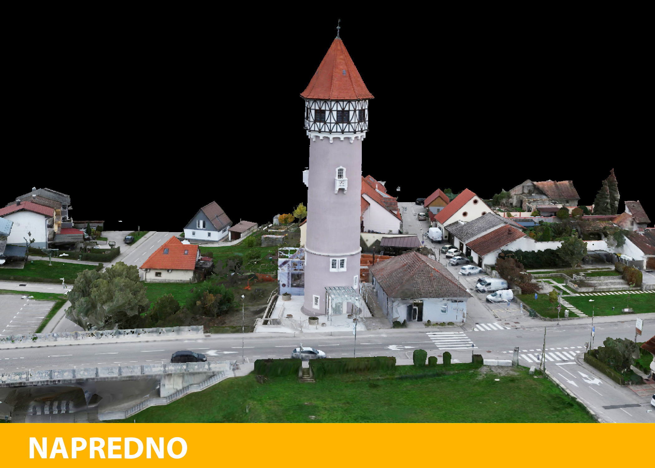
Many geodetic services can be performed much faster and more efficiently with the help of drones. Creating cadastral plans, calculating volumes, measuring from orthophoto plans with spatial accuracy up to 1 cm, all while significantly reducing the time required for completion.

Read more

Agriculture

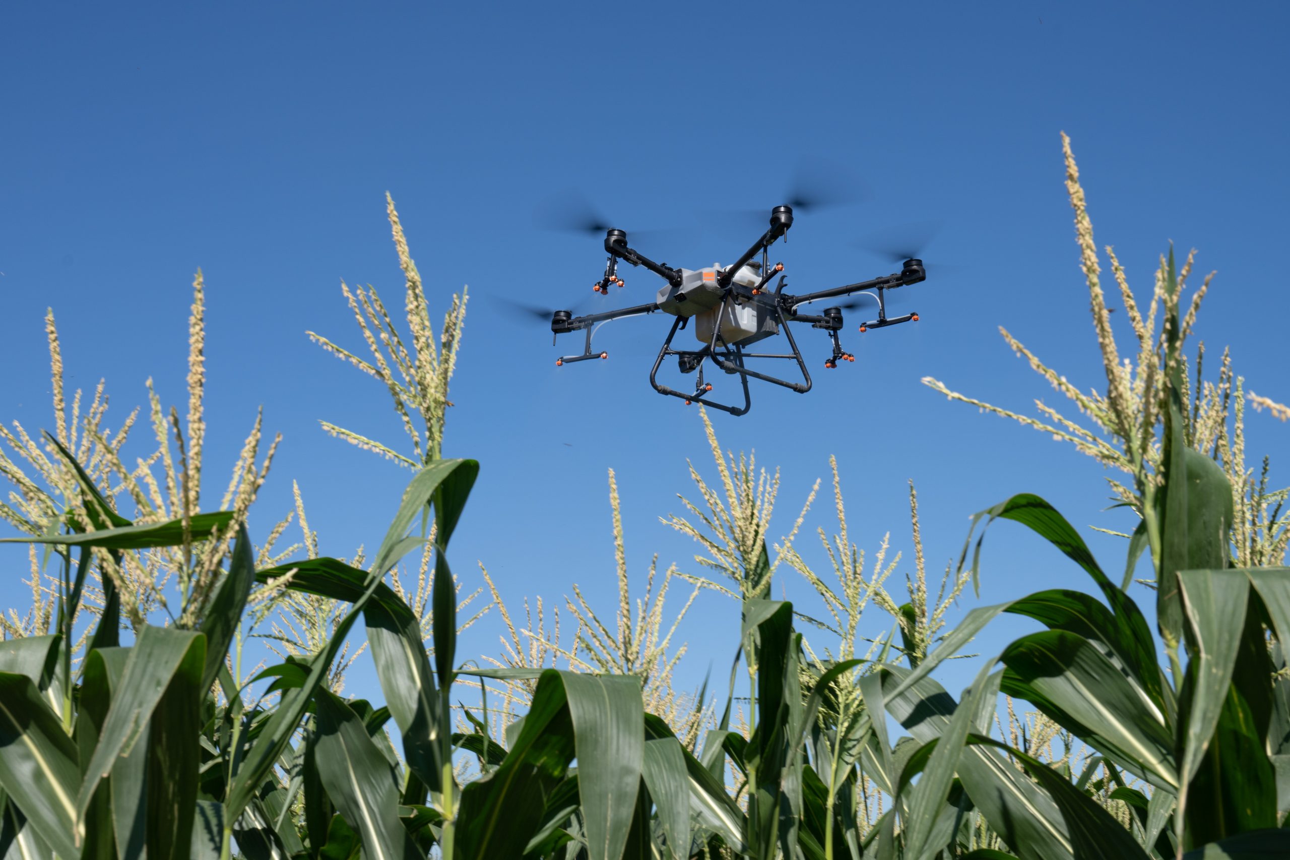
Unmanned aircraft, or drones, are becoming an indispensable tool in efficient agriculture, where precise interventions in vegetation lead to better results with lower production costs.

Read more

Archaeology and Cultural Heritage

The use of modern technology in the research and preservation of historical artifacts, buildings, and cultural heritage is nothing new. Drones take you to a higher level.

Read more

Energy Sector

Many companies have incorporated the most advanced diagnostic tools available in the market for industrial use, such as thermal imaging cameras and drones, into their maintenance programs to ensure continuous operation of their facilities.

Read more

Construction.

Aerial footage has become indispensable in architecture and construction. Creating construction plans is much simpler with the assistance of accurate 3D terrain models. Monitoring work progress at construction sites allows for a precise overview of construction timelines, including the ability to measure lengths, areas, slopes, and volumes by comparing selected dates.

Read more

Execution of government activities.

Unmanned aircraft used for defense purposes operate in challenging weather conditions, utilize equipment manufactured to military standards, and employ dedicated encrypted radio connections. A wide range of useful payloads enables the execution of various military tasks.

Read more

Real estate

Can you imagine a high-quality real estate presentation without aerial footage? Since the existence of drones with powerful cameras, there’s almost no good real estate presentation without aerial shots.

Read more

Security

A flying camera that can rapidly reach any part of a secured area and provides detailed monitoring day and night enhances situational awareness, reduces response times, and enables a decrease in the number of security personnel on the field.

Read more

Protection and rescue.

Unmanned aircraft provide an aerial perspective and swift delivery of crucial cargo in cases of accidents, fires, and major natural disasters. In our offering, you can find everything from simple aircraft that allow rapid situational assessments to powerful drones equipped with thermal cameras for fire monitoring and search-and-rescue operations.

Read more

Insurance

Insurance companies often require aerial footage when assessing risk and evaluating damages, as ground-level images may not capture entire properties and larger areas accurately. A drone serves as a “flying camera” that resolves issues of accessibility and comprehensive coverage of larger surfaces.

Read more

Other

OneDrone advocates an open approach to research and supporting businesses in innovative solutions that contribute to their development, landscape evolution, and the overall society.

Read more

Facing a business challenge that could potentially be solved with drones? Reach out to us! Together, we develop turnkey solutions tailored to your needs.

HIGHLIGHTED

LiDAR Technology

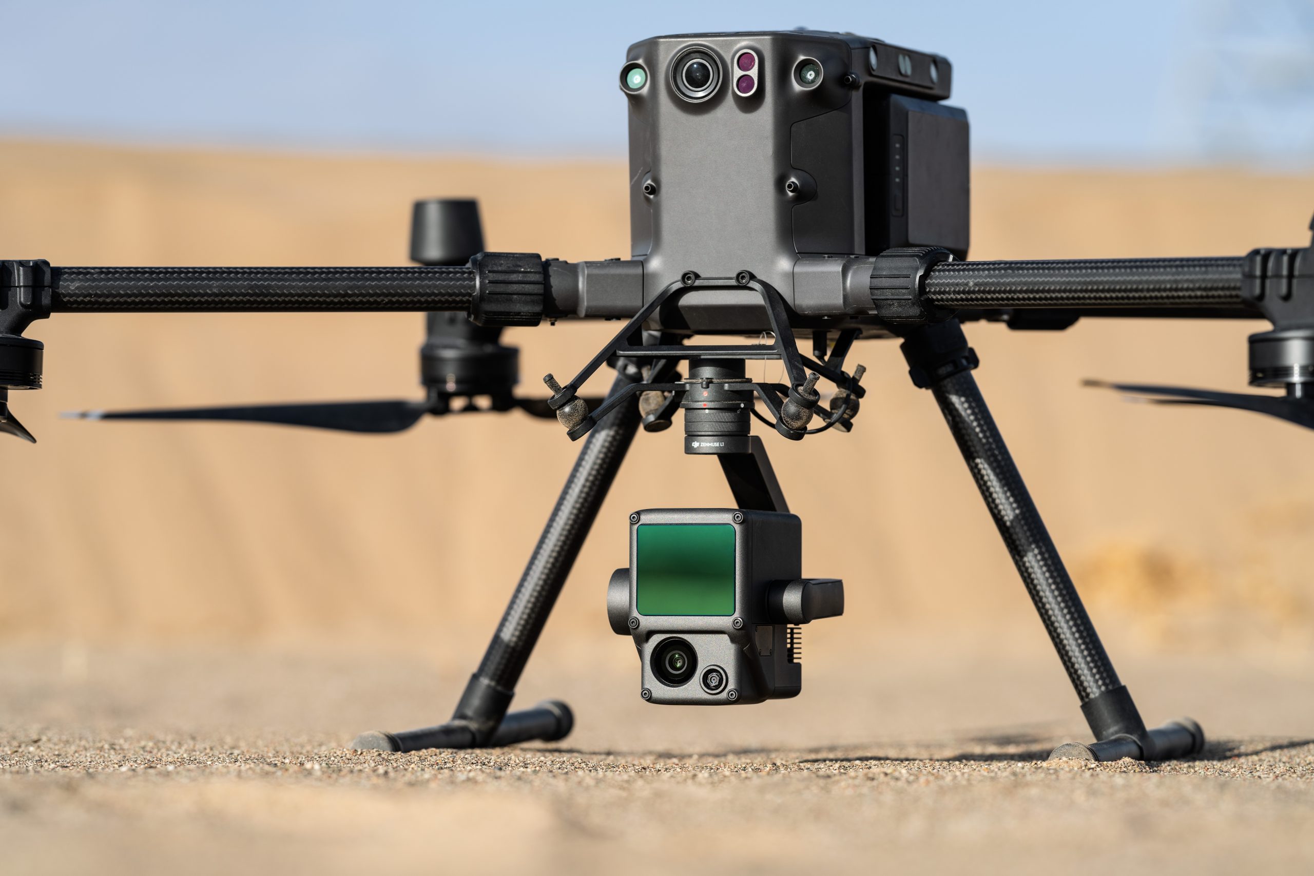
LiDAR, or Light Detection and Ranging, enables precise measurement using laser beams. We use this technology to create accurate 3D terrain models, which have applications in various fields such as geodesy, geomatics, archaeology, geography, geology, geomorphology, seismology, forestry, and more.

LiDAR

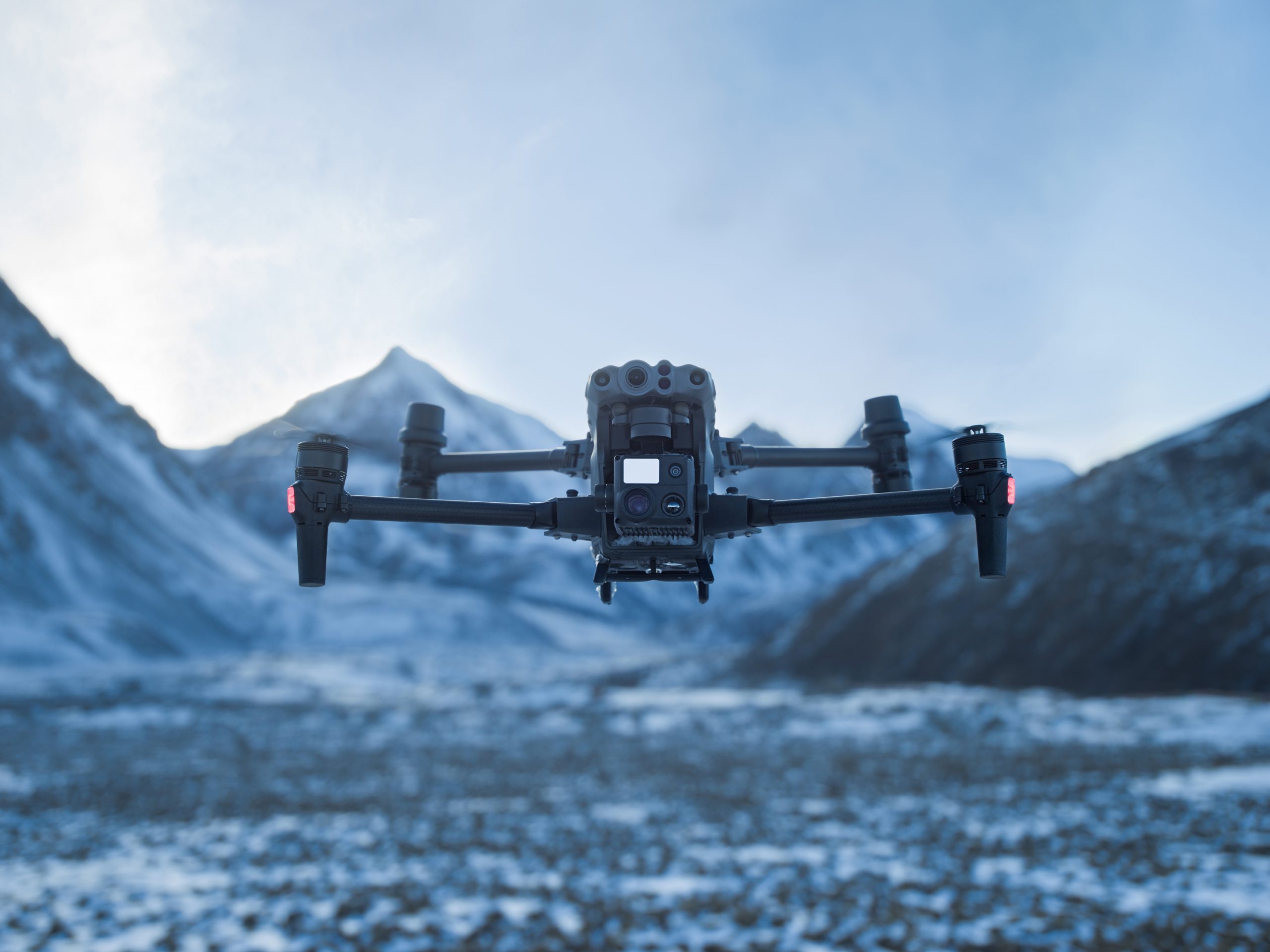
Get acquainted with DJI ENTERPRISE professional drones.

Advanced drones for professional use encompass a diverse group of machines with various features and modes of operation, offering a wide range of possibilities. Therefore, we invite you to a special course where you can personally get to know and test all the professional drones from the DJI ENTERPRISE series, including their equipment. This course is essential for those who have a certain idea but aren’t entirely sure which drone model and equipment are suitable for their activity. During this full-day training, you will gain theoretical and practical familiarity with all DJI ENTERPRISE drones, their capabilities, and potential uses.

Presentation of DJI Enterprise Equipment

Drone Usage in Agriculture

Drones in agriculture operate with a focus on sustainability and efficient crop management. They enable precise and regular monitoring of vegetation and yields over large areas, capable of tracking the condition of individual plants. Farmers can swiftly identify potential infections, water stress, and more. They also closely monitor growth patterns and plan tasks more accurately. Modern technology aids in cost reduction while contributing to higher yields.

Agriculture

This website uses cookies to ensure correct website functioning and to improve your experience. For more information, please see our Cookie policy .

I hereby allow the use of data for all purposes specified below.