This website uses cookies to ensure correct website functioning and to improve your experience. For more information, please see our Cookie policy .

CREATION OF DIGITAL 3D MODELS AND TERRAIN CAPTURES FOR 3D VISUALIZATION/AR IN CGI/VFX
Low-resolution 3D render for location views ("RECCE")
It is a digital representation of a location used in pre-production, such as in the film and television industry, for assessment and planning of shooting. This type of render is usually quickly produced and does not include detailed textures or high-quality lighting effects. The main purpose is to provide a basic spatial representation of the location, including its dimensions, arrangement of elements, and potential viewing angles. This allows directors, cinematographers, and other team members to get a sense of the space and consider logistical aspects of shooting, such as camera placement, actor movement, and light arrangement. Low-resolution 3D renders are often created using 3D modeling programs and may include basic models of surrounding buildings, natural elements, and other relevant objects at the location.
Set of services:
– Georeferenced 3D point cloud of at least 20 points/m2 in .LAS format
– 3D flat texture file in .OBJ format with resolution GSD = 5cm
– Orthomosaic with resolution GSD = 5cm in GeoTIFF format
– Possibility to view 2D AND 3D model on the web portal (cloud)

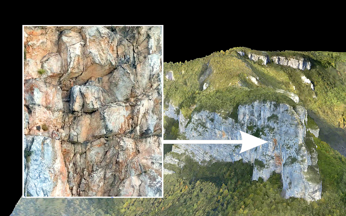
High-resolution 3D render for creating special effects, known as SFX (Special Effects)
It is the process of creating extremely detailed and realistic digital images that are often used in films, television shows, video games, and other media productions. This type of render stands out for its high resolution, precision, and quality of details, allowing digitally created scenes or elements to seamlessly integrate with real footage or act independently as convincing visual elements.
set of services:
– Georeferenced 3D point cloud of at least 50 points/m2 in .LAS format
– 3D flat file with texture in .OBJ, .PLY format with resolution GSD = 1cm
– Orthomosaic with resolution GSD = 1cm in GeoTIFF format