
Read More
Ask an Expert
Photogrammetry is based on processing overlapping photographs captured from the air to create orthophoto images and 3D models. It is ideal for measuring surfaces, volumes, and object visualization. It is used in construction, geodesy, spatial planning, etc. In combination with advanced algorithms, it enables fast and cost-effective processing of larger areas.
When do we use LiDAR?
LiDAR is indispensable where 3D terrain visualization is required beneath dense vegetation or in urban environments. It operates through active terrain scanning with laser beams, enabling exceptionally precise results regardless of lighting conditions.
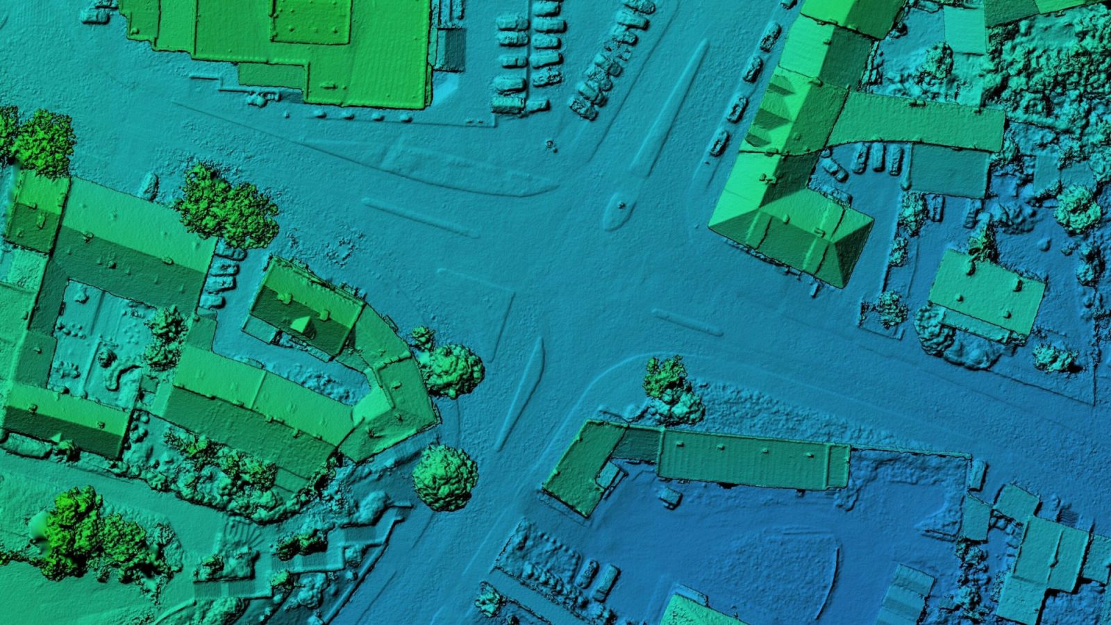
Result: point cloud and terrain model
The result of LiDAR scanning is a high-resolution point cloud that represents the surface or terrain in three dimensions. This data is essential for creating accurate digital terrain models (DTM), slope analysis, and elevation difference assessment.

Contact Me!
David Hovnik, mag. inž. geod. geoinf.
Geodesy & Drone Inspections
+ 386 41 593 740
david@onedrone.si
Accurate 3D data for surveying, engineering, and spatial planning
- Orthophotos & 3D models
- Dense point clouds
- Below-canopy data
- Fast data processing
At OneDrone, we deliver complete photogrammetry and LiDAR drone solutions – from sensor integration to 3D model generation. Our high-resolution data supports terrain analysis, volume calculations, and infrastructure planning, even in densely vegetated or complex environments.
Related Resources
Offers
Special Offer for Legal Entities
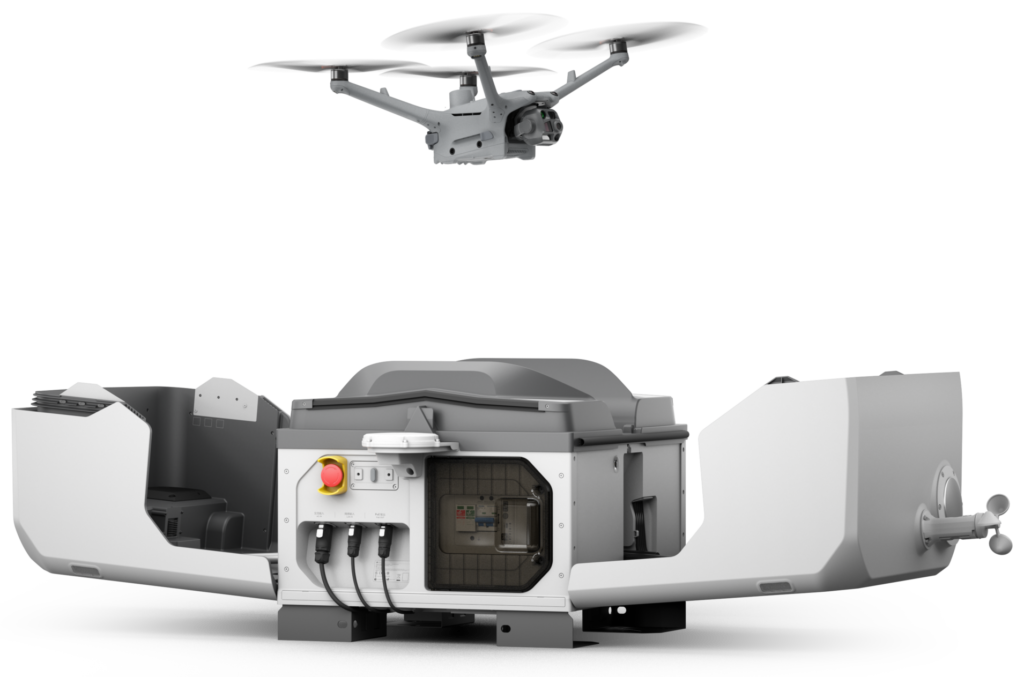
We offer comprehensive automated drone security systems – including DJI Dock, patrol route configuration, integration with existing security systems, and personnel training.
Basic Package
DJI Mavic 3 Enterprise Thermal Drone + A2 Licence Training
- additional battery pack and charger for 3 batteries
- SanDisk Extreme 128MB Micro SD memory card
- A2 category remote pilot training
5.390,00 € + DDV
Contact Us >
Standard Package
DJI Mavic 3 Enterprise Thermal Drone + A2 Licence Training + STS Training
- additional battery pack and charger for 3 batteries
- SanDisk Extreme 128MB Micro SD memory card
- A2 category remote pilot training
- establishment of a drone operator system in a special category (theoretical and practical training, operational manual, passing the CAA exam, conducting the registration process – for 2 people in the company)
5.390,00 € + DDV
Contact Us >