
Insurance
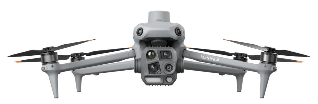
Drones simplify damage assessment following storms, fires, and accidents. They enable insurance companies to rapidly access field data, visual documentation, and photogrammetric measurements, which significantly accelerate valuations and claims settlement decisions.
Jump to Solutions
Lets Connect

Aerial documentation without delay
Drones safely and efficiently capture footage of damaged areas, even in locations where access is challenging. Visual recordings and panoramic views enable precise damage documentation without the need for physical on-site inspection.
Faster claims processing through aerial data and photogrammetry
- Immediate access to damaged areas
- Accurate visual documentation from the air
- Safe inspection without physical presence
- Photogrammetric surface and volume analysis
- Objective reports for faster settlements
Drones deliver reliable insights that accelerate insurance workflows – from inspection to payout.
Less delay. More clarity.
Related Solutions
Related Resources
No related resources available at the moment.